Cesium ion
Cesium ion streams world imagery and terrain. The app retains the applicable imagery-provider credits.
Earth
Explore a Google Earth-like interactive 3D globe, with geography and lessons connected to the places you see.
Open any screenshot, then choose Original size to inspect fine text and detail.
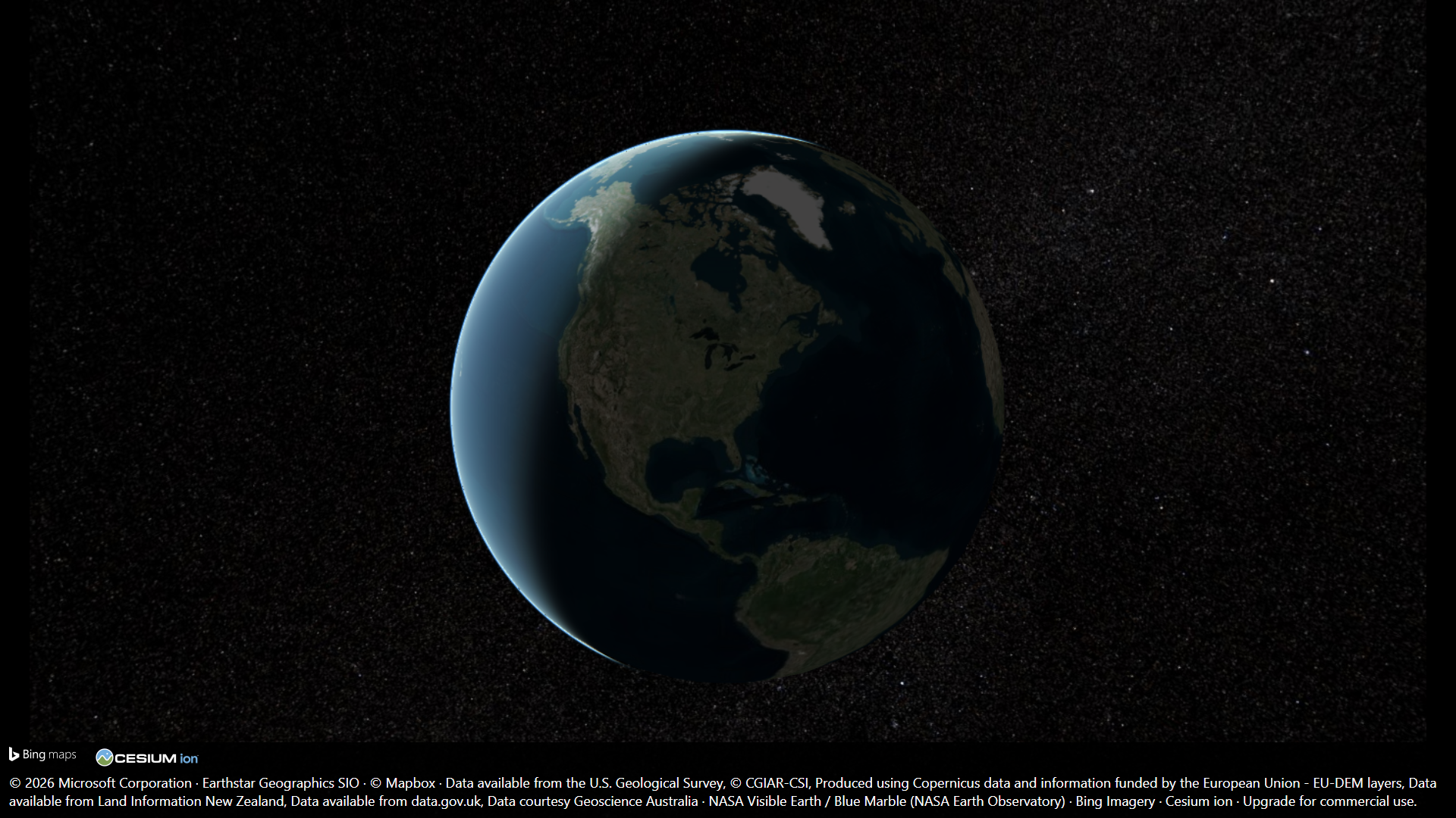
Explore Earth as a globe, with imagery-provider credits retained in the view.
Authentic Discivia app capture · English interface.
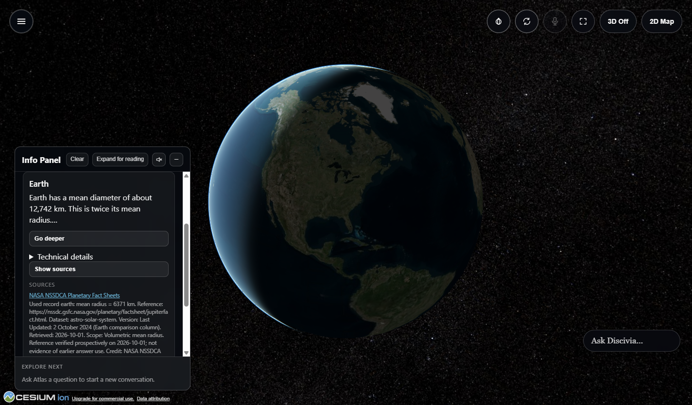
Read a sourced explanation in the Info Panel while keeping Earth in view.
Authentic Discivia app capture · English interface.
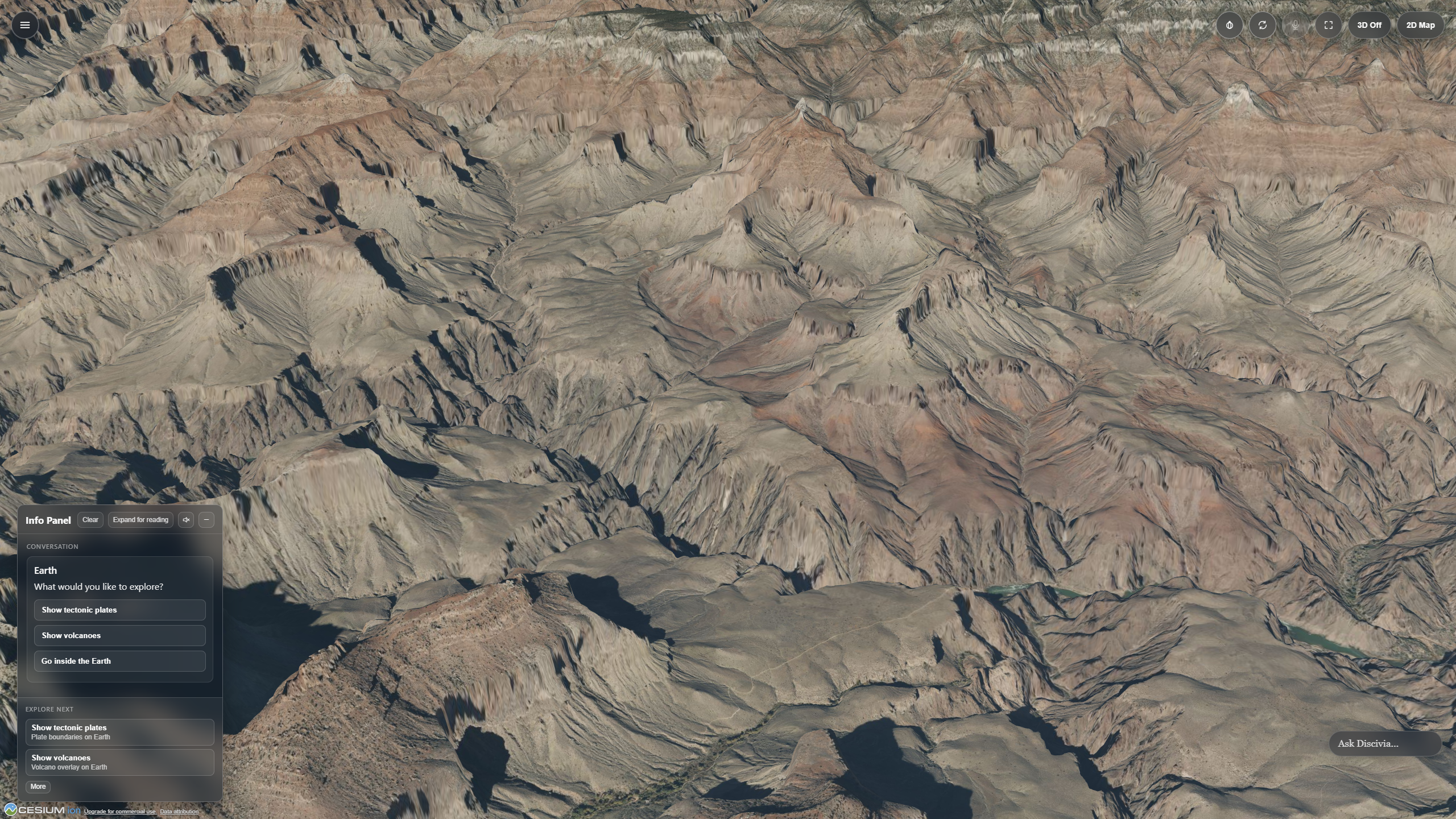
Explore the Grand Canyon’s cliffs and valleys from a close, oblique perspective in Discivia.
Authentic Discivia app capture · English interface.
Cesium ion streams world imagery and terrain. The app retains the applicable imagery-provider credits.
Natural Earth supplies mapped countries, regions, borders and selected physical features, connecting named places to geographic shapes.
USGS Water Science School grounds selected explanations of rivers, water movement and the water cycle.
Imagery and terrain detail depend on source coverage and resolution. Geographic outlines are generalized. Cesium ion is the only required internet connection for ordinary installed-app use; connected AI and other online services are optional.
Curriculum
Connect geography, water, landforms and Earth systems to supported guided lessons. Use the view to discuss spatial relationships, then explore the available practice and teacher resources.